Good for: Birds, Wildflowers
Parking
Access
Terrain
About the location
On the north side of the water there are two seats. Useful for a lunchbreak with a good view of most of the reservoir and the castle ruins on the far side. Good hard standing here for a telescope! The main reservoir, also known as Lower Beaver Dyke Reservoir, was constructed in 1890 and had a surface area of 9 ha. In 2008 the reservoir's owner, Yorkshire Water, decided that it was not economic to maintain its ageing structures. It was decommissioned between 2013 and 2015 by breaching its dam and channelling a stream in the bed of the former reservoir. A residual lake of 0.5 ha was retained. The water of the reservoir was relatively nutrient rich, but it was known to suffer from potentially toxic blooms of blue green algae.
Further information
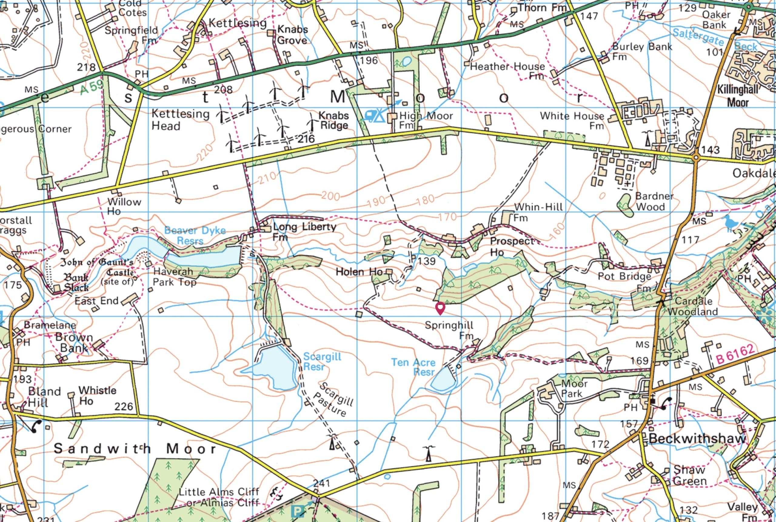
OS Map Reference
Members Area
View the Society's latest publications in this area of the website reserved for Members.
Trip Reports
View a detailed roundup of all our Field Trips in the Harrogate District and beyond.
Latest News
The latest wildlife news from around the Harrogate District that may be of interest to naturalists.