
Good for: Ferns, Mosses, Wildflowers
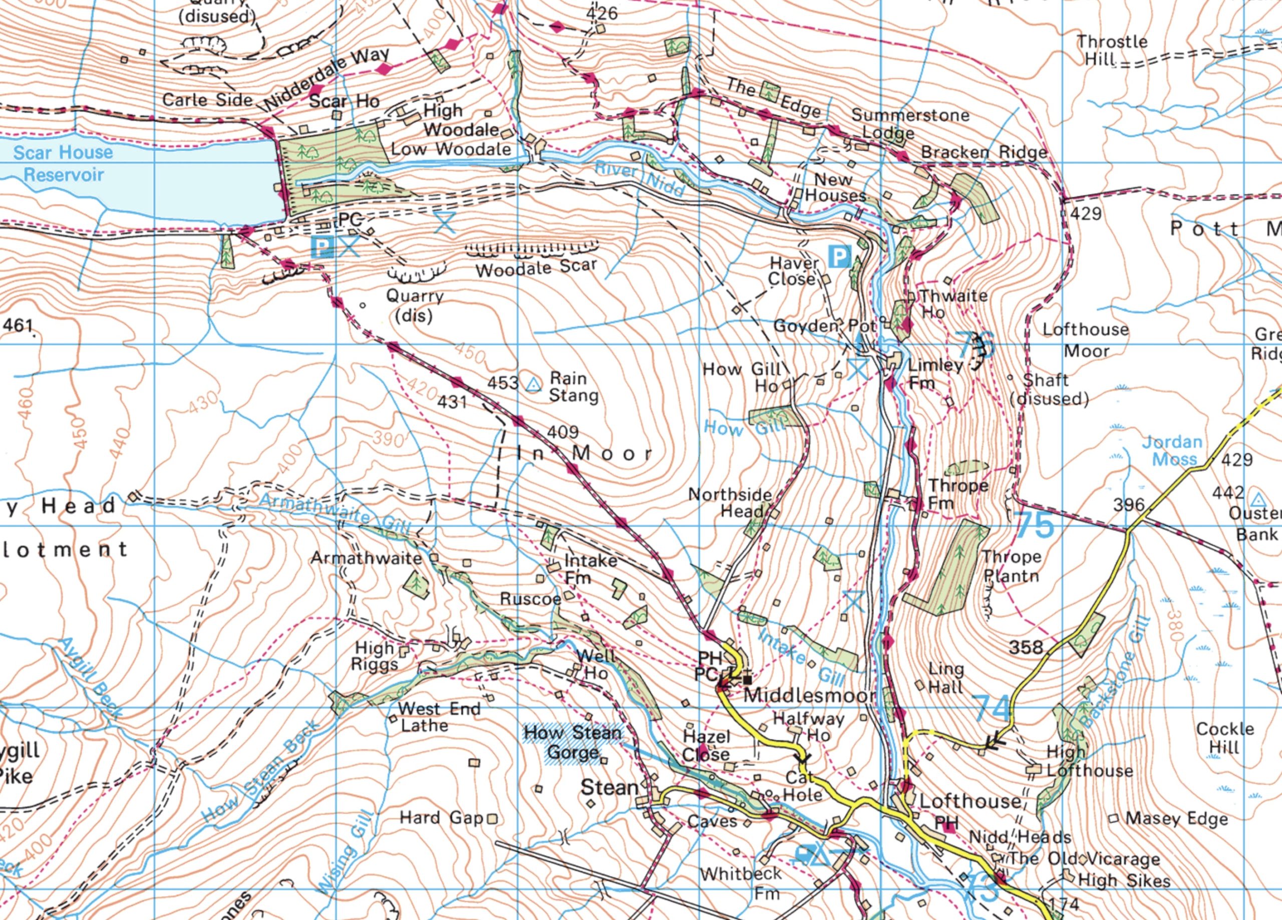
The upper reaches of the River Nidd and valley, with rough pasture, woodland, many exposed outcrops of limestone and entrances to cave systems, such as Goyden Pot
Parking
Limited roadside parking and a lay-by opposite Goyden Pot
Access
Public Rights of Way
Terrain
tbd
Habitat:
About the location
Further information
Natural England: SSSI Site detail
Lofthouse
OS Map Reference
SE 099 760
Members Area
View the Society's latest publications in this area of the website reserved for Members.
Trip Reports
View a detailed roundup of all our Field Trips in the Harrogate District and beyond.
Latest News
The latest wildlife news from around the Harrogate District that may be of interest to naturalists.